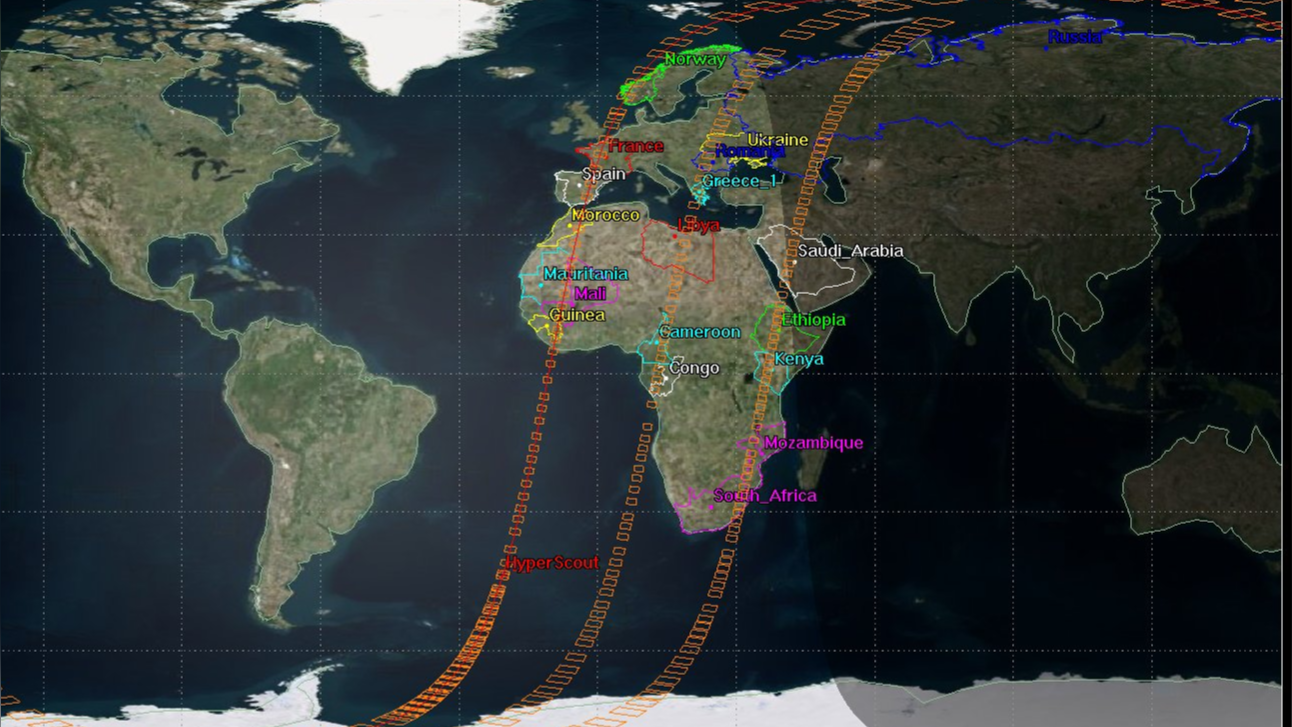
This technology developments for a VLEO enabled earth observation mission exploits low earth altitudes for high resolution scouting, delivering very high spatial, spectral and thermal features detection, recognition, classification and monitoring, as well as event-based real time information delivery during catastrophic events, natural disasters, as well as for security and defense applications. We envisage a constellation based on a set of satellites deployed in Low Earth Orbit (500 - 700 km), capable of delivering an unprecedented hourly revisit all over the globe, and capable of delivering early warnings to a second set of satellites deployed in VLEO (100 to 300 km), that once received the warning and the location, the closest VLEO satellite is tasked to image at higher spatial, spectral and thermal resolution the envisaged anomaly or target to be further characterized. The VLEO set of satellites has also processing and analytics capabilities onboard, thus is delivering the more detailed actionable information to ground for further actions from ground based infrastructures. The challenge of the satellite stabilization at such low orbit will be addressed.
The proposed payload family for the VLEO mission is the HyperScout® [2] product lines developed by cosine Remote Sensing [1] in close collaboration with the European Space Agency. The enabling technologies that will be developped in this activity are
- the onboard processing technology including the environment tailored to deep learning for deployment of the latest artificial intelligence (AI) algorithms in space [3], and
- a Computer Vision Stabilization (CVS) system to increase the time an area is tracked and / or to compensate for platform instabilities while using computer vision techniques for attitude determination.
Such a mission in VLEO will enable spectral imagery at similar resolutions than the Sentinel 10 CHIME with very compact satellite systems.
_____
References:
[1] cosine.nl
[2] Esposito 2019, In-orbit demonstration of artifi cial intelligence applied to hyperspectral and thermal sensingfrom space
[3] Giuffrida 2022, The Φ-Sat-1 Mission: The First On-Board Deep Neural Network Demonstrator for Satellite Earth Observation