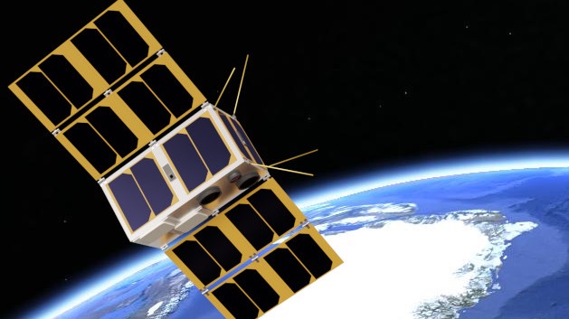
By using images taken of an object at different angles it is possible to reconstruct a 3D-model of the object. This is a technique that has gained succes within recent years with the development of advanced cameras in mobilephones. A few studies have also tried to use satellite imagery for 3D reconstruction of e.g. mountains, glacier and fjords by taking advances of the high baseline-to-height ratio of imagery from e.g. the Planet satellites. It would however, be far more optimal, if the observations of the studied objects could be done at different angles and not only in nadir pointing mode, which is the case for almost all observations today. We thus want to launch a 2U CubeSat with a high-resolution camera and an accurate attitude determination and control system that will allow us to do ground spot tracking. This will allow us to make daily 3D models of e.g. glaciers in Greenland, which again would allow a hitherto unseen accuracy in determining the melting rate of these glaciers. One of the main challenges with this project is to design, test and implement operating procedures for doing ground spot tracking and that will thus be the main focus of this project. We have secured funding for building and launching the CubeSat in Q4 2023 or Q1 2024 and here we apply for co-funding for a PhD project that will focus on the project described above. The rest of the funding for the PhD will be supplied by the Arctic Research Centre at Aarhus University.