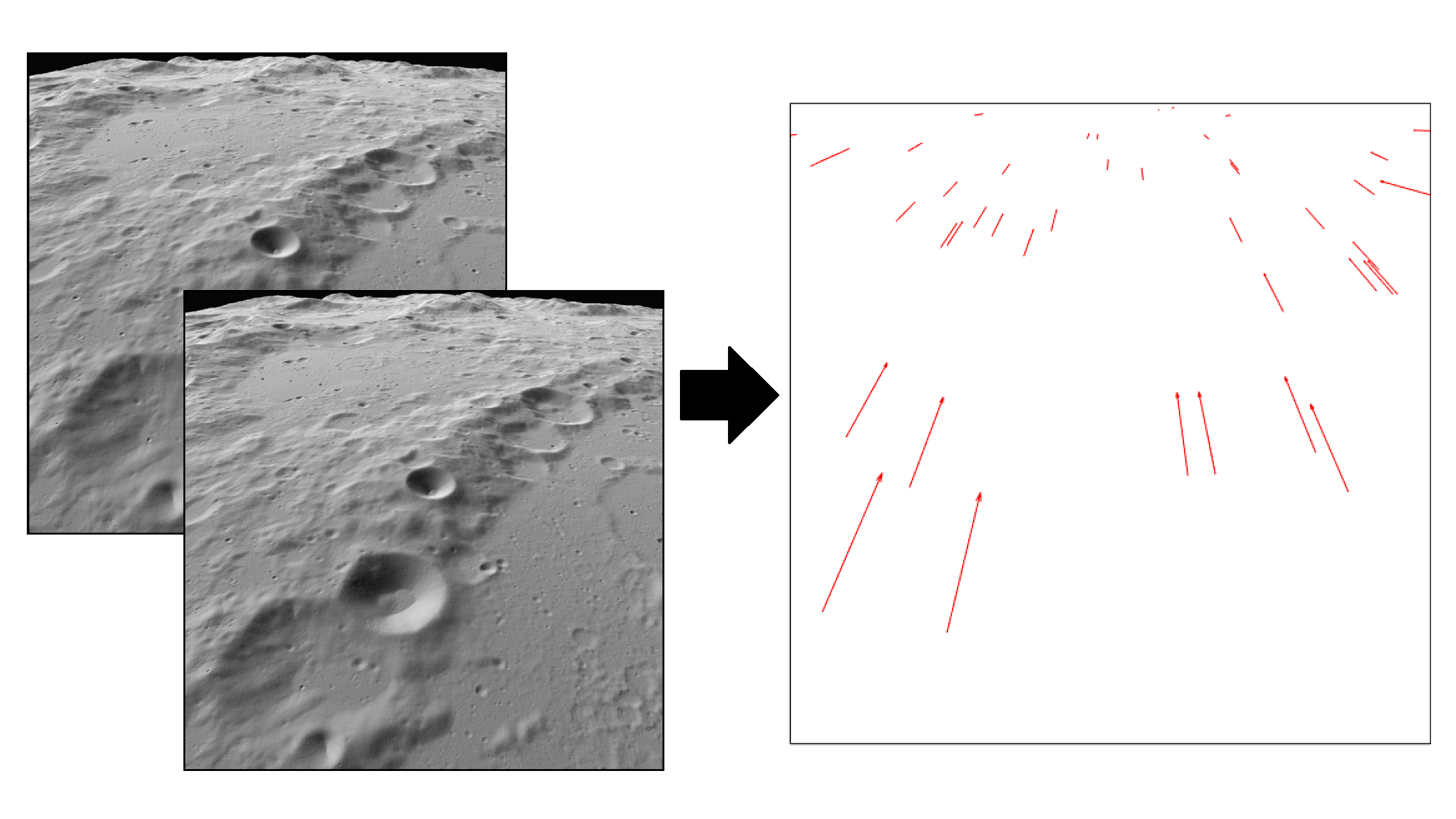
Spacecraft autonomy is an enabler for various types of missions such as precise and safe lunar landing. Yet, the current implementation of autonomy is depending on ground-based measurements to initialize the navigation filter. Not requiring ground support of deep-space antennas would enable new types of exploration missions and lowering their cost. One example is the simultaneous exploration of a body with a swarm of orbiting and potentially landing spacecraft. Fully autonomous systems would allow for such benefits. A major element of these systems is Terrain-relative Absolute Navigation (TAN). TAN methods provide measurements of the vehicle’s pose with respect to the terrain, through a database of terrain-referenced maps, images or features.
However, none of these has proven global capability, being limited in the need for an a‑priori estimate of the vehicle’s pose. Furthermore, the ability to produce, store and manage a global map on board has not been shown yet. The proposed study aims at developing, implementing and verifying a fully autonomous navigation system that does not require any data or initialization from ground. For planetary bodies for which the surface has been mapped, this system will provide a fully autonomous on board position and/or orbit estimation allowing autonomous operation around these objects. The system shall rely purely on sensors typically available on exploration missions, such as IMU, STR, and cameras.
The method proposed here comprises three stages, beginning with a novel method of coarse absolute pose acquisition. Here ephemeris data and inertial STR measurements will be fused with results from camera measurements. In the second stage this coarse pose will be used to autonomously extract local maps from on-board global landmark catalogues.
Finally, landmark-based absolute navigation methods tolerant for coarse initialization will be used in combination with these local maps to provide a high precision pose.

